Flooding is 'expected' in these Sussex and Surrey areas amid heavy rainfall; multiple alerts issued
and live on Freeview channel 276
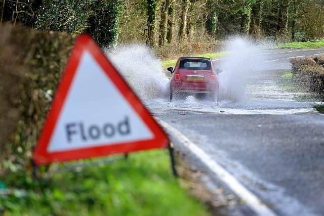
As many as 80 flood warnings have been issued by the UK Government’s Environment Agency. This means that ‘flooding is expected’.
– River Mole at Brockham and Pixham;

– Mock Bridge, near Shermanbury on the River Adur.
Advertisement
Hide AdAdvertisement
Hide AdFlood alerts, meaning ‘flooding is possible’, have been issued for 275 UK rivers – including these 14 Sussex and Surrey hotspots:
– River Mole and its tributaries from Kinnersley Manor to South Hersham;
– Redhill Brook at Redhill and Salfords Stream at Salfords;
– Upper River Mole, Ifield Brook, Gatwick Stream and Burstow Stream;
– Upper River Medway;
– River Lox;
– Upper Arun;
– River Adur West Branch;
– River Adur East Branch;
– Upper Ouse;
– River Uck;
– Cuckmere River;
– Combe Haven;
– Rivers Tillingham and Brede;
Advertisement
Hide AdAdvertisement
Hide Ad– River Rother and its tributaries from Turks Bridge to the Royal Military Canal.
Road closures are in place due to flooding and fallen trees across the counties this morning. Click here to see the areas you should avoid.
A yellow rain warning had been issued by the Met Office, running from 2am on Thursday until 6am today (Friday).
The Met Office weather forecast for today reads: “Outbreaks of rain or showers, these sometimes heavy. Today will often be cloudy, but some brighter spells are possible, mainly this afternoon.
Advertisement
Hide AdAdvertisement
Hide Ad"Strong coastal winds, although winds gradually ease for the Hampshire coast and the Isle of Wight this afternoon. Maximum temperature ten degrees Celsius.”
On Saturday, ‘bright or sunny spells’ are expected after early patchy fog or low cloud clears.
A spokesperson for the Met Office said: “Most places will remain dry, but isolated showers will arrive across western areas. Maximum temperature 12 degrees Celsius.”
Sunday will be ‘generally cloudy with scattered showers’ but will Monday will be ‘brighter’ and ‘mainly dry’ once early fog or low cloud clears’. Tuesday is likely to see ‘sometimes heavy rain’, with temperatures ‘close to or slightly above average’.